
查看原文全部插图(14 幅)
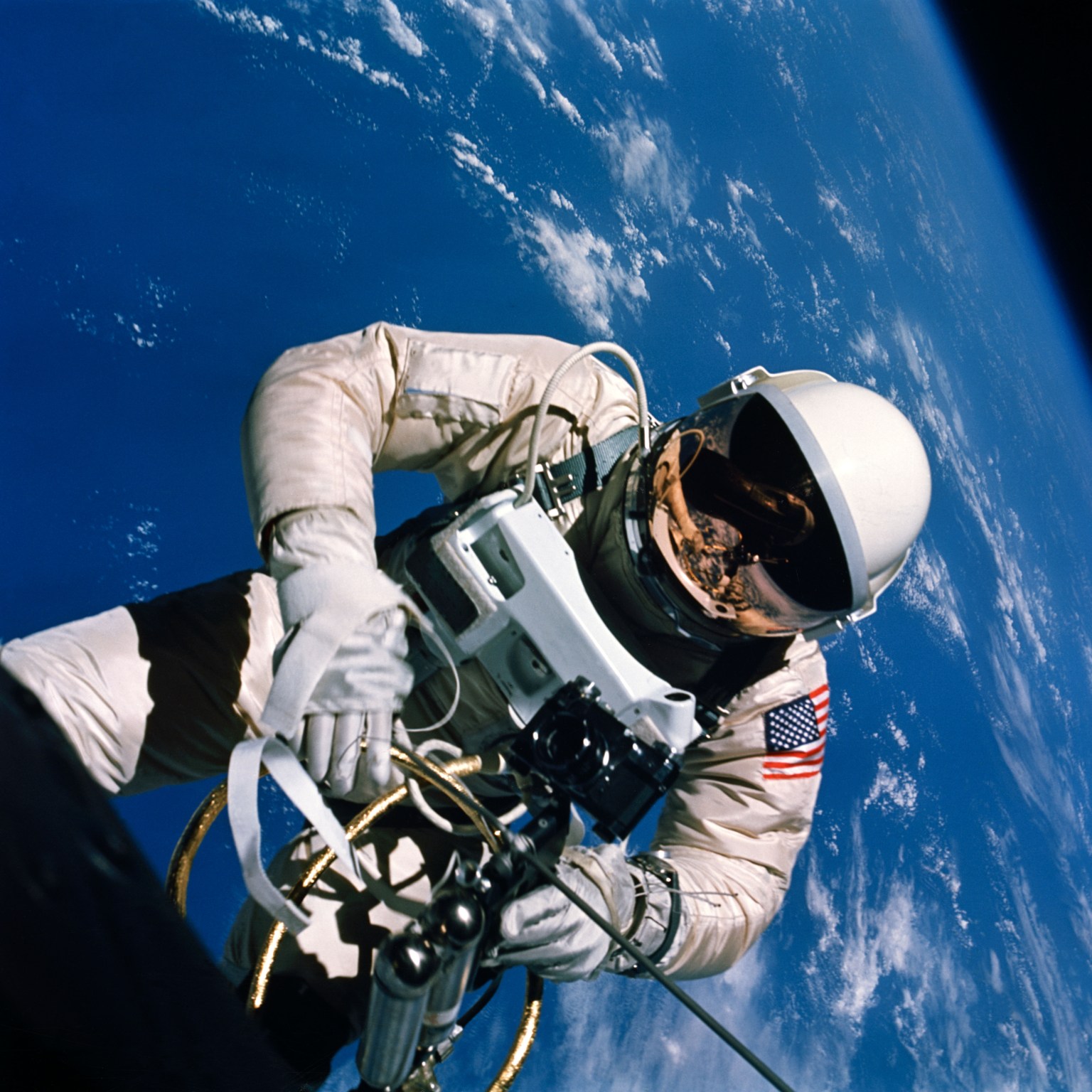
内容提要
本文探讨了美国国家航天局(NASA)在水星-土卫十五9号任务后,针对宇航员报告称能从轨道清晰观测地面细节的现象所开展的视敏度实验。这些实验不仅验证了宇航员的观测能力,还推动了地球资源卫星(ERTS)等地球观测技术的发展。
原文全文译文
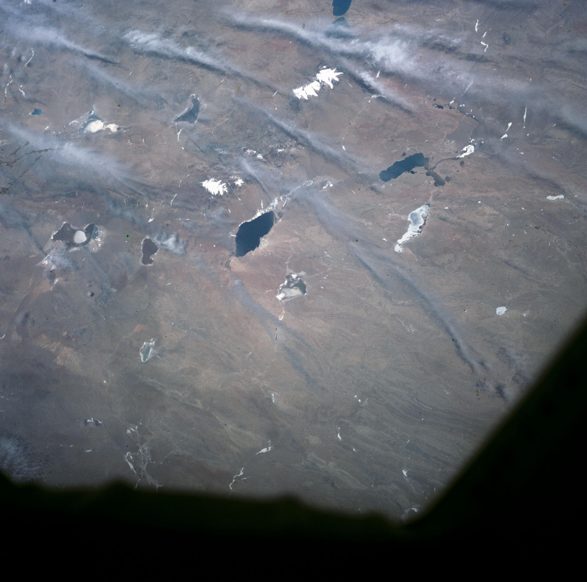
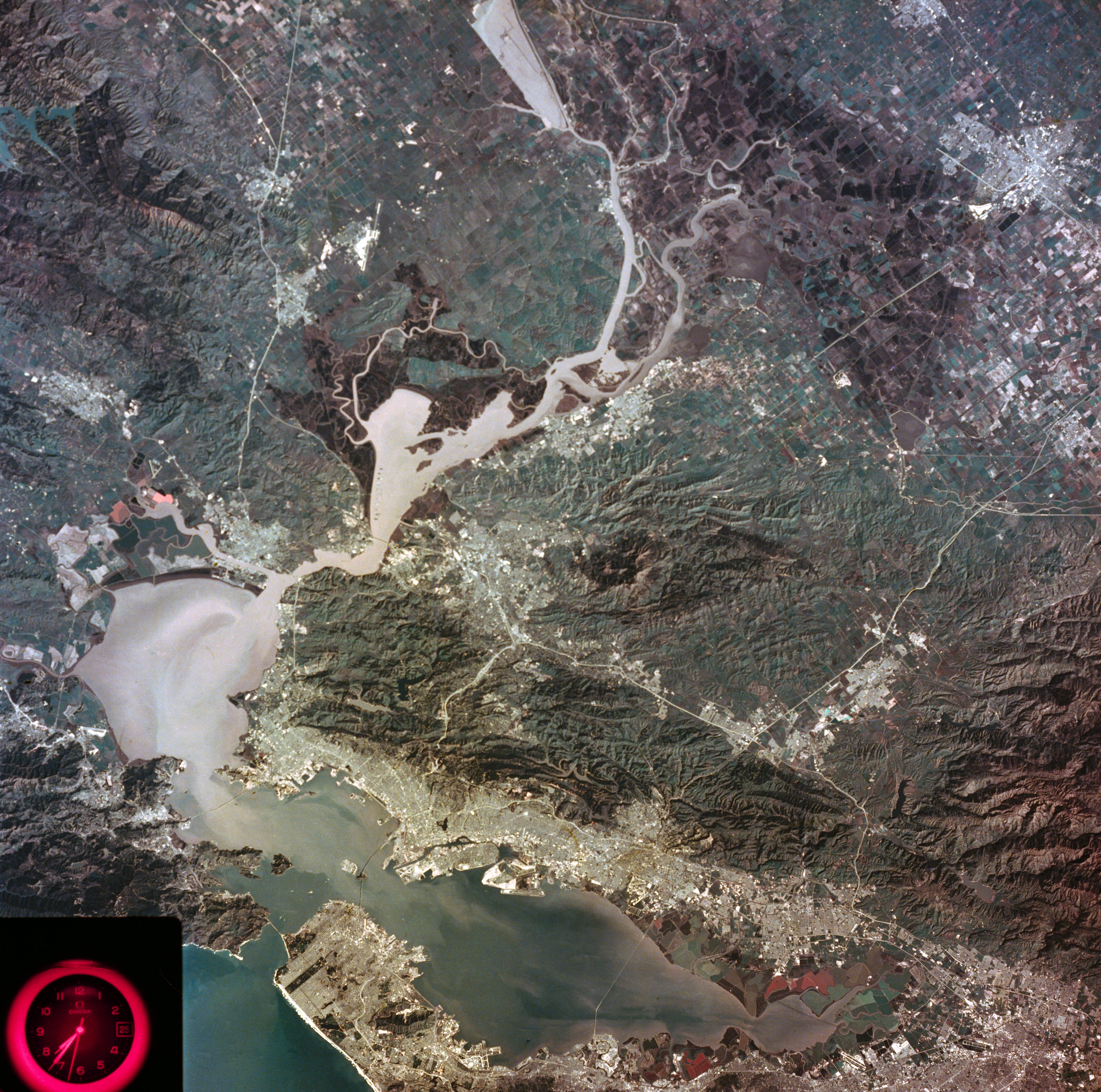
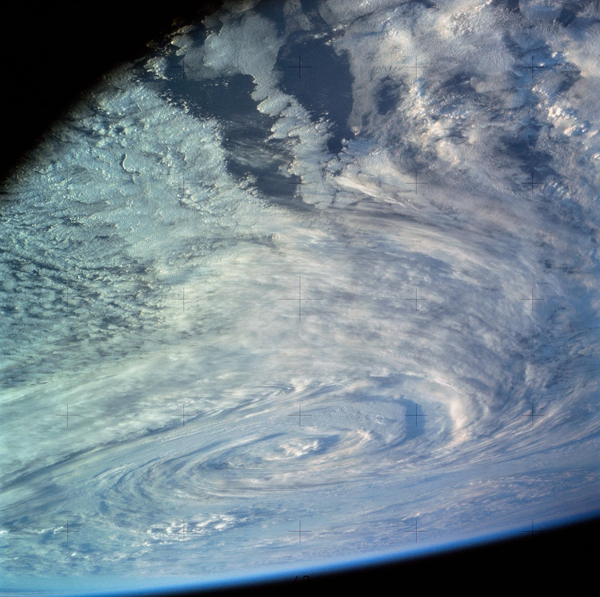
美国国家航天局(NASA)宇航员 L. Gordon Cooper, Jr. 在 1963 年 5 月执行水星-土卫十五(Mercury-Atlas)9 号任务期间,绕地球飞行时用一台 70 毫米相机拍摄了 29 张地球彩色照片。Cooper 从他的 Faith 7 航天器窗口看到的景象非常壮观,他报告称自己能看到在土路上行驶的车辆、喷着烟的火车以及房屋的顶部。
NASA astronaut L. Gordon Cooper, Jr. took 29 color photographs of the Earth with a 70mm camera as he orbited our planet during the Mercury-Atlas 9 mission in May 1963. Cooper’s view from the window of his Faith 7 spacecraft was spectacular, and he reported that he could see vehicles motoring on dirt roads, smoke-belching trains, and the tops of houses.
研究人员和公众对此表示怀疑。Cooper 在距离地球 100 英里的轨道上飞行时,真的能如此清晰地看到地球表面的物体吗?一些视觉专家认为,视力为 20/20 的宇航员在轨道高度上无法清晰地看到边长小于 150 英尺的物体。尽管据报道 Cooper 拥有出色的 20/12 视力,但他声称能看到一辆在美墨边境附近扬起尘云(dust cloud)的白色汽车,这显然是不可能的。然而,Cooper 并非唯一持有这种主张的人。其他水星计划宇航员也报告称看到了地球上细节惊人的物体。
Researchers and members of the public had their doubts. Could Cooper actually see objects on the Earth’s surface in such fine detail while orbiting 100 miles above the planet? Some vision experts assumed that astronauts with 20/20 vision could not clearly see objects with sides less than 150 feet long at orbital altitudes. Although Cooper reportedly had exceptional 20/12 vision, certainly he could not see a white automobile kicking up a dust cloud near the U.S.-Mexico border as he claimed. Cooper, however, was not alone in his assertions. Other Mercury astronauts also reported seeing objects on the Earth in striking detail.
这些说法引起了心理健康专家对 NASA 首批宇航员精神状态的质疑。《空军与太空文摘》(Air Force and Space Digest)上的一篇文章指出,一些精神科医生推测“失重导致宇航员产生幻觉,太空计划正面临严重麻烦”。当心理健康专家考虑太空飞行(space flight)对大脑的影响时,视敏度(visual acuity)专家则仔细研究了水星宇航员的主张,并开发了一项实验,以确定他们从太空中究竟能看到地球上的什么。
These claims caused mental health professionals to question the sanity of NASA’s first astronauts. A story in Air Force and Space Digest noted that some psychiatrists speculated that “weightlessness was causing the astronauts to hallucinate and that the space program was in for serious trouble.” While mental health experts considered the effects of space flight on the brain, visual acuity experts mulled over the Mercury astronauts’ assertions and developed an experiment to determine what they could see on Earth from space.
将宇航员视力付诸测试
Putting Astronaut Vision to the Test
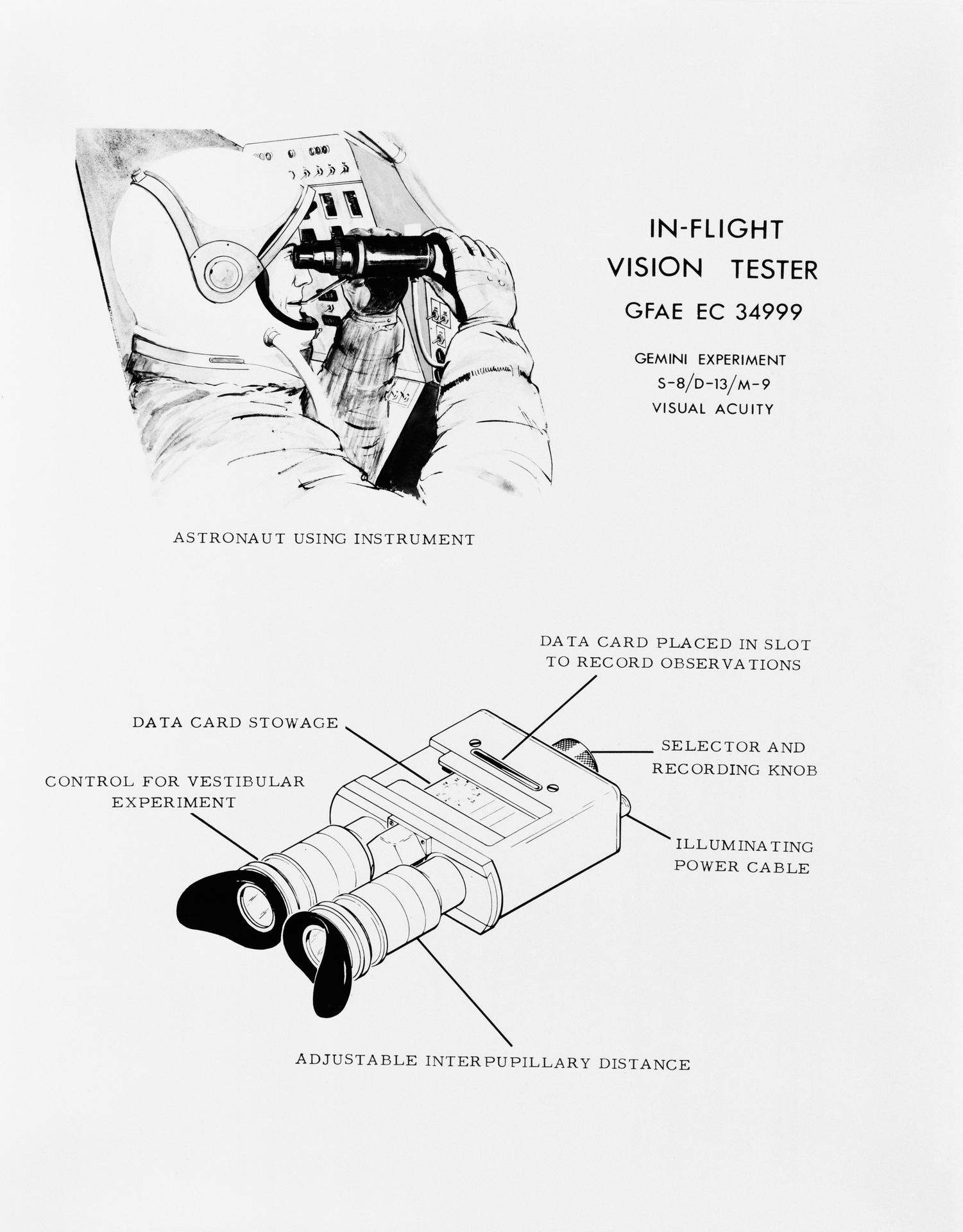
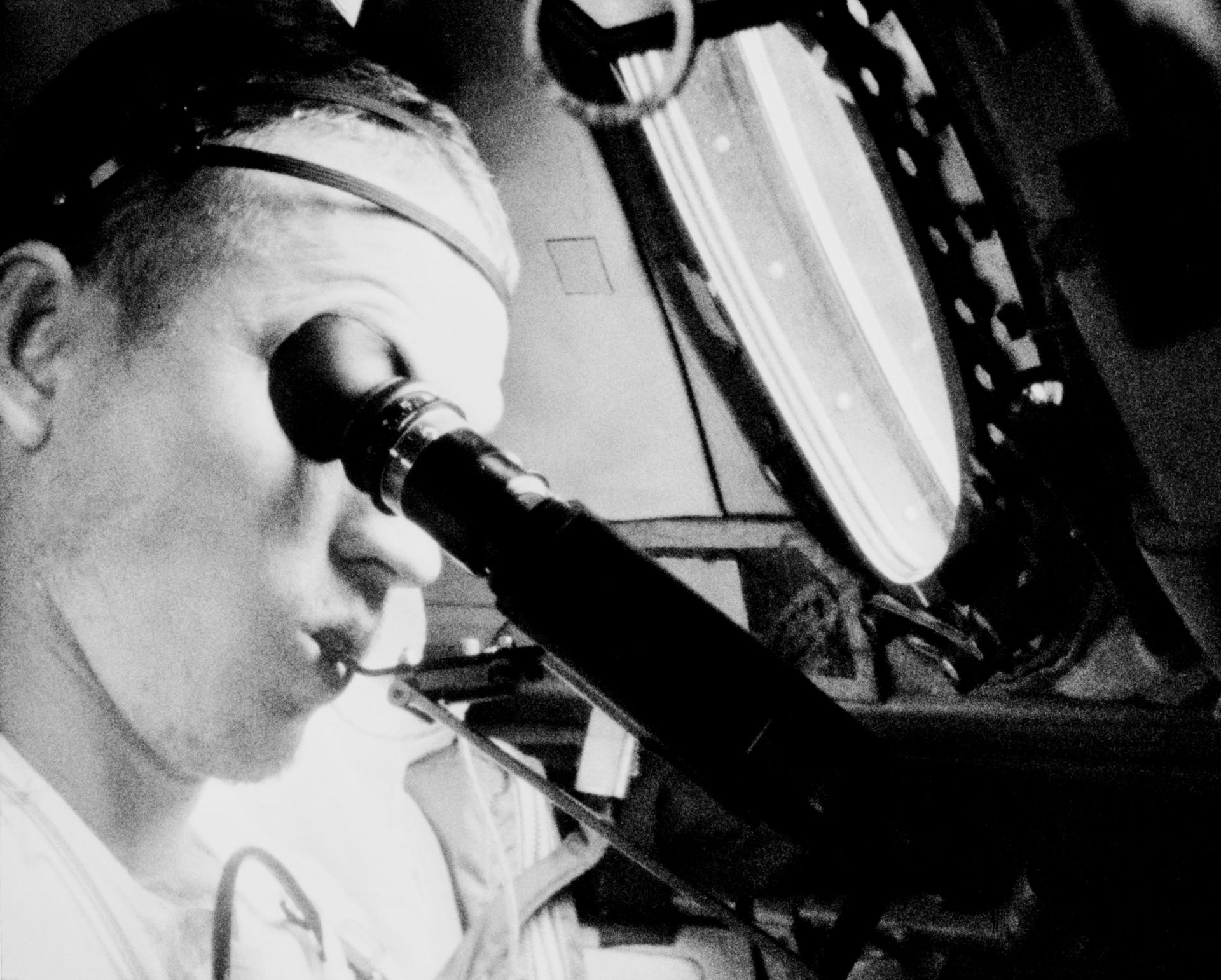
NASA 及其合作伙伴开发了两项视敏度实验,并在载人双子座 V 号(Gemini V)和双子座 VII 号(Gemini VII)任务期间进行了测试。第一个实验涉及通过一种类似于双筒望远镜的光学设备进行观察。测试对象通过目镜观察各种位置和对比度水平的矩形组合。然后,他们被要求识别这些矩形的方位指向。
NASA and its partners developed two visual acuity experiments and conducted them during the crewed Gemini V and Gemini VII missions. The first experiment involved looking through an optical device reminiscent of binoculars. Test subjects looked through the eyepieces to see an assortment of rectangles in various positions and levels of contrast. They were then asked to identify the directional orientation of the rectangles.
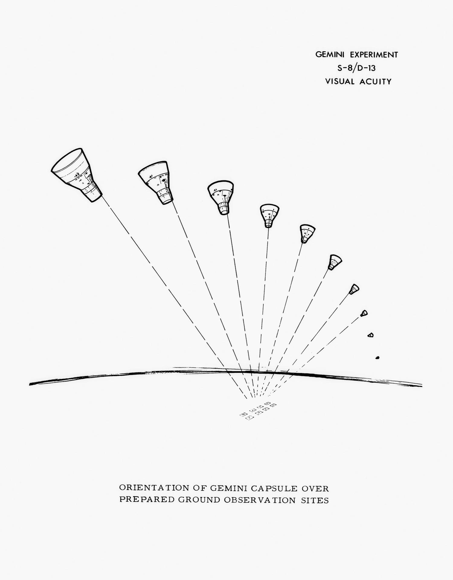
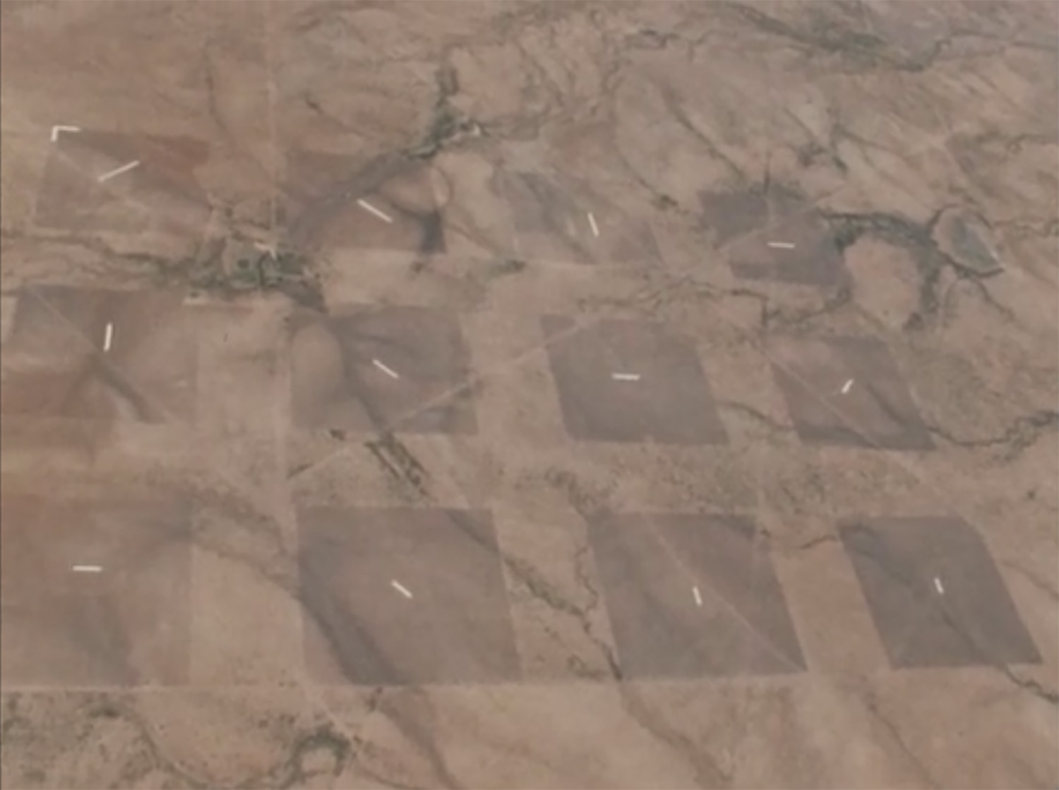
实验的另一部分涉及创建两个由巨大的白色矩形组成的地面视力表。这些由陶氏化学公司(Dow Chemical Corporation)制作的矩形,长度从大约 150 英尺到 600 英尺不等。实验团队将一组矩形放置在德克萨斯州拉雷多的深色耕地上,另一组放置在澳大利亚卡纳封附近,并要求双子座 V 号和 VII 号宇航员从轨道上识别它们的方位指向。这种视敏度工具被戏称为“Eye-Q”图表。
Another part of the experiment involved creating two enormous terrestrial eye charts composed of gigantic white rectangles. The rectangles, created by the Dow Chemical Corporation, ranged in size from roughly 150 to 600 feet long. The experiment team placed one set of rectangles on dark tilled soil in Laredo, Texas and another near Carnarvon, Australia, and asked Gemini V and VII astronauts to identify their directional orientation from orbit. This visual acuity tool was nicknamed the “Eye-Q” chart.
多云天气、双子座航天器窗口散射的阳光以及飞越期间不利的轨道方位,都影响了宇航员对地面实验的观察。尽管如此,在某些轨道运行期间,两次任务的宇航员都能看到拉雷多附近地面站点的部分区域。
Cloudy conditions, sunlight scattered by the window of the Gemini spacecraft, and unfavorable orbital orientations during overflight all impacted the astronauts’ views of the ground-based experiments. Nevertheless, during some orbital revolutions, astronauts on both missions were able to see portions of the ground site near Laredo.
他们关于拉雷多“Eye-Q”站点的报告,结合飞行前、飞行中和飞行后进行的类似双筒望远镜的视力测试结果,揭示了宇航员实际上可以从轨道上看到道路和带有尾迹的船只。实验还确定,宇航员的视力在为期两周的太空飞行中并没有退化。1
Their reports on the Laredo “Eye-Q” site, combined with the results of the binocular-like vision tester experiments conducted before, during, and after the flight, revealed that astronauts could in fact see roads and ships with following wakes from orbit. The experiments also determined that an astronaut’s vision did not deteriorate during a two-week spaceflight.1
意义
Implications
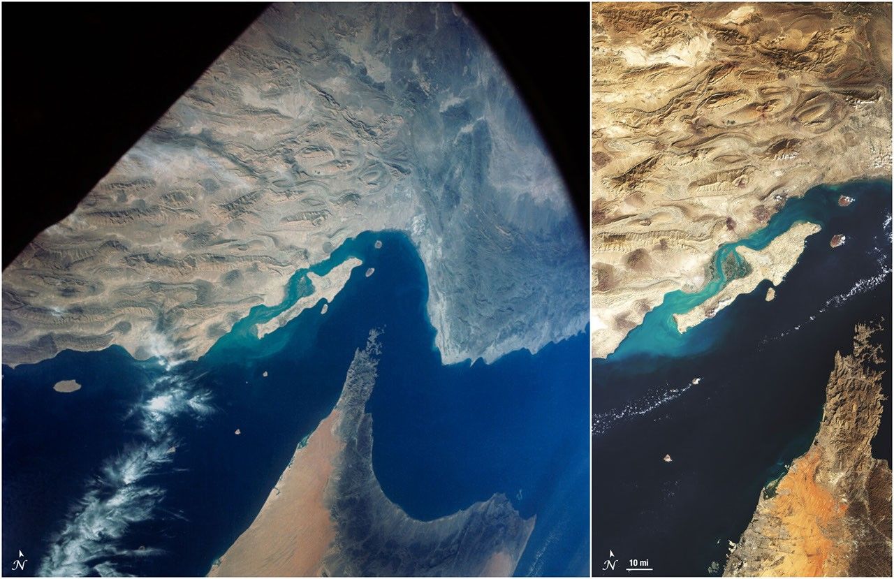
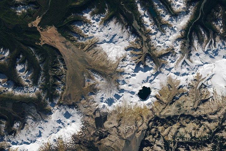
确定宇航员从轨道上能准确看到地球上的哪些特征,其意义远不止是检查宇航员报告的真实性。了解肉眼(human eye)能从太空中看到什么,以及查看 NASA 早期载人任务拍摄的照片,对于地质学家、地理学家、海洋学家和其他研究我们星球的人来说具有巨大的意义。
Determining what features on Earth astronauts could accurately see from orbit was about much more than sanity checking astronaut reports. Understanding what human eyes could see from space, as well as seeing the photographs taken on NASA’s early crewed missions had huge implications for geologists, geographers, oceanographers, and others studying our planet.
科学界对水星和双子座宇航员所见地球表面的回忆和照片的兴趣,促使 NASA 及其合作伙伴倡导开发新的地球观测仪器。NASA、美国地质调查局(U.S. Geological Survey)、海军研究办公室(Office of Naval Research)和美国农业部(U.S. Department of Agriculture)指出,从高空捕获的地球表面图像可用于清点农作物、绘制地质特征图、监测自然灾害并更好地了解海洋过程。
The scientific community’s interest in the recollections and photographs of the Earth’s surface as seen by the Mercury and Gemini astronauts motivated NASA and its partners to advocate for new Earth-observing instruments. NASA, the U.S. Geological Survey, the Office of Naval Research, and the U.S. Department of Agriculture noted that surface images of the Earth captured from above could be used to inventory crops, map geological features, monitor natural disasters, and better understand the ocean’s processes.
这些现实应用的前景促成了地球资源卫星(Earth Resources Technology Satellite,ERTS)的诞生,后来更名为 Landsat 1。Landsat 1 由 NASA 于 1972 年发射,其相机和多谱扫描仪(multi-spectral scanner)的数据与该机构的地球资源飞机计划(Earth Resources Aircraft Program)的数据一起,被用于监测海洋、农田、自然灾害现场等。
The promise of these real-world applications motivated the creation of the Earth Resources Technology Satellite (ERTS), later renamed Landsat 1. Launched by NASA in 1972, the data from Landsat 1’s camera and multi-spectral scanner were used along with data from the agency’s Earth Resources Aircraft Program to monitor the oceans, agricultural fields, natural disaster sites, and more.
在人类首次先驱性太空飞行后的六十年里,NASA 继续从轨道、飞机甚至基级(ground level)观测地球,以持续寻求帮助解决地球上的问题。
In the six decades since America’s first pioneering human spaceflights, NASA has continued to observe the Earth from orbit, aircraft, and even ground level in a continuing quest to help solve problems here on Earth.
注
Note
[1] 在随后的几年里,科学家们记录到大约 70% 的宇航员在较长时间的太空飞行中会经历太空飞行相关神经眼综合征(SANS)。
[1] In subsequent years, scientists have documented that roughly 70% of astronauts experience Spaceflight Associated Neuro-ocular Syndrome (SANS) during longer spaceflights.
来源与许可
原文来自公共领域来源;译文由机器生成,请以原文为准。 原作者:Michele Ostovar。 原始页面